
Blog
Naddi, Dal Lake and the McLeod Ganj loop
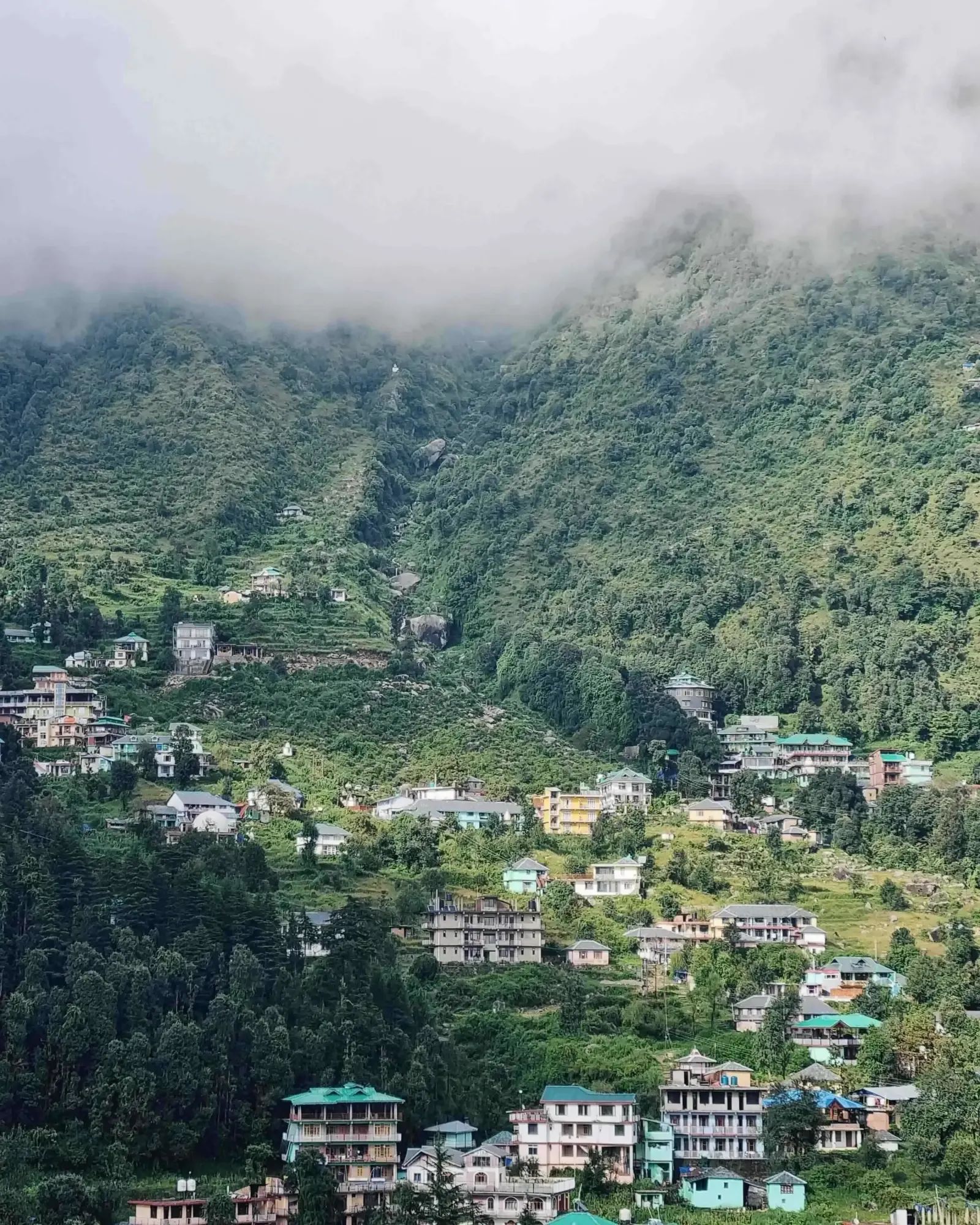
People ask how far Naddi viewpoint is from Dal Lake as though it were a journey. It is one kilometre. The whole cluster above Dharamshala is smaller than it looks and slower than it measures, and both of those facts are worth knowing before you plan a day around it.
Written by the people who drive these roads · Last checked
The short answer
Naddi viewpoint to Dal Lake is 1 km by road, about 70 m of descent, and a twenty-minute walk. McLeod Ganj is 6 km from Naddi, 3.2 km from Bhagsu and 3.4 km from Dharamkot. Dharamshala town is 4.8 km below McLeod Ganj. The entire loop covers under 15 km and still eats an afternoon, because these are one-lane roads with nowhere to park.
The facts, in one place
- Naddi to Dal Lake is 1 km by road, a drop of about 70 m, walkable in twenty minutes.
- McLeod Ganj is 3.2 km from Bhagsu, 3.4 km from Dharamkot and 6 km from Naddi.
- Dharamshala town to McLeod Ganj is 4.8 km, and to Naddi 8.3 km by the direct road.
- Naddi sits at about 1,921 m, some 600 m above Dharamshala town at 1,314 m.
- Sunset at Naddi runs from about 17:21 in December to 19:33 in June.
- Naddi → Dal Lake1 km
- McLeod Ganj → Bhagsu3.2 km
- Dharamshala → McLeod Ganj4.8 km
- McLeod Ganj → Gallu Devi5 km
- McLeod Ganj → Naddi6 km
Read the whole postClose the post
There is a question in the search data that gives away exactly how people picture this place: how far is Naddi viewpoint from Dal Lake?
The answer is one kilometre. You can see one from near the other. The question is being asked because on a map with a road network drawn at national scale, these look like two separate destinations, and in a guidebook they get separate paragraphs. They are twenty minutes apart on foot.
That misreading runs through the whole cluster above Dharamshala, and it cuts both ways: the places are much closer together than people expect, and getting between them takes much longer than the distances suggest.
Every distance in the loop
| Leg | Distance |
|---|---|
| Naddi → Dal Lake | 1 km |
| McLeod Ganj → Bhagsu | 3.2 km |
| McLeod Ganj → Dharamkot | 3.4 km |
| McLeod Ganj → Gallu Devi | 5 km |
| McLeod Ganj → Naddi | 6 km |
| Dharamshala → McLeod Ganj | 4.8 km |
| Dharamshala → Naddi | 8.3 km |
Add those up as a circuit and the whole thing is under 15 km of driving. There is no journey in this table. There is a village and its outskirts.
Note the last two rows. Dharamshala to Naddi is 8.3 km, but Dharamshala to McLeod Ganj is 4.8 km and McLeod Ganj to Naddi is 6 km — which does not add up, because the direct road to Naddi does not pass through McLeod Ganj at all. If the bazaar is jammed, that road is the way out.
Why one kilometre takes twenty minutes
These are single-lane roads with two-way traffic, no verges to speak of, and almost no parking at any of the stops. A car coming the other way is not a five-second event.
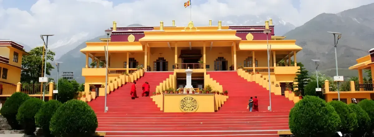
Naddi in particular has a small amount of space at the viewpoint and a large number of people who want it between four and six in the afternoon. In April, May and June you can spend longer finding somewhere to leave the car than you spend looking at the view.
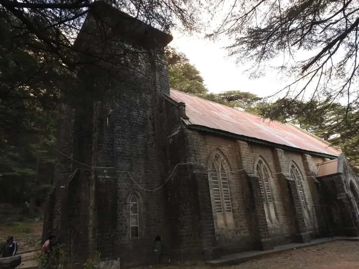
The honest consequence: the walking is faster than the driving on this loop, and it is not close. McLeod Ganj to Bhagsu on foot is a pleasant half hour on paths that go where the road will not. We say this as the people you would be paying to drive it.
The altitudes, which are the part that matters
| Place | Height |
|---|---|
| Dharamshala | 1,314 m |
| McLeod Ganj | 1,744 m |
| Bhagsu | 1,764 m |
| Dal Lake | 1,850 m |
| Dharamkot | 1,896 m |
| Naddi | 1,921 m |
Two things fall out of that column.
Bhagsu is not up a hill. It is twenty metres above McLeod Ganj. What people remember as the climb is the path to the waterfall above the village, which is a different thing and worth doing.
The 600 m between Dharamshala and Naddi is the real gradient here, and it is why the temperature difference between the two is noticeable, why the cloud sits on Naddi when Dharamshala is clear, and why an evening at the viewpoint needs a layer that the bazaar did not.
Sunset at Naddi
Naddi looks west over the Kangra valley, which is why it is the sunset stop rather than one of the others. These are computed times for its latitude, on the 15th of each month, for an open horizon:
| Month | Sunset | Month | Sunset |
|---|---|---|---|
| January | 17:42 | July | 19:33 |
| February | 18:10 | August | 19:10 |
| March | 18:32 | September | 18:32 |
| April | 18:54 | October | 17:53 |
| May | 19:15 | November | 17:25 |
| June | 19:33 | December | 17:21 |
The earliest sunsets of the year fall in the first week of December, at about 17:19, and the latest in early July at 19:36.
Two caveats we would rather give you than have you discover. The far horizon is the Punjab plains, so in the hazy months the sun frequently fades out well before it reaches the line rather than setting cleanly into it. And the good light here starts about forty minutes before sunset. Arriving at the printed time is arriving late.
The order that works
Go up the direct road to Naddi first, in the late afternoon. Walk down to Dal Lake. Come back through McLeod Ganj for the evening rather than fighting through it on the way up.
If Triund is on your list, Gallu Devi is 5 km from McLeod Ganj and is where that walk actually begins — we have written about the treks from here separately, and the short version is that being driven to the trailhead saves you ninety minutes of nothing.
For everything else in the cluster — the temple, the monastery, Bhagsu — our McLeod Ganj and Bhagsu day is this loop with a driver on it.
What we would actually tell you
Do not book a car for the day to cover 15 km. Book one for the morning to get you up to Dharamkot or Gallu Devi, walk the middle of the day, and take a car or a scooter again for Naddi in the late afternoon when you are tired and the road is at its worst.
That is not the most profitable advice we could give you, but a Dzire crawling behind a bus in the McLeod bazaar for two hours is a poor use of both of us.
Also asked
Questions that come up
How far is Naddi viewpoint from Dal Lake?
One kilometre by road. Dal Lake sits at about 1,850 m and Naddi at about 1,921 m, so it is a climb of roughly 70 m between them. Twenty minutes on foot, five in a car, and the walk is the better of the two.
How far is Naddi from McLeod Ganj?
6 km by road, which takes about twenty minutes in ordinary traffic and considerably longer on a spring weekend. From Dharamshala town it is 8.3 km by the direct road, which does not go through McLeod Ganj at all.
What time is sunset at Naddi viewpoint?
It runs from about 17:21 in mid-December to 19:33 in mid-June. Those are computed times for Naddi's latitude on an open horizon. Get there thirty to forty minutes early — the light over the Kangra valley is better before the sun actually goes than at the moment it does.
How far is Bhagsu from McLeod Ganj?
3.2 km. It also barely climbs — Bhagsu is at about 1,764 m against McLeod Ganj's 1,744 m, which is a difference of twenty metres despite feeling like a proper hill when you walk it. The waterfall above the village is the climb people are remembering.
Can I walk between McLeod Ganj, Bhagsu and Dharamkot?
Easily, and you should. Nothing in that triangle is more than 3.5 km from anything else and the paths are more direct than the roads. Driving between them on a busy day is often slower than walking, and always more irritating.
How long do I need for the whole McLeod Ganj loop?
Half a day is honest if you are moving, a full day if you want to sit anywhere. The driving totals under 15 km. The time goes on parking, on one-lane roads with two-way traffic, and on the fact that every stop is somewhere you will want to stay longer than you planned.
Keep reading