
Spiti Valley
Cold desert, monasteries older than most countries, villages sitting above 4,000m. We drive it slowly and in the right order so the altitude creeps up on you instead of hitting you.
- Kalpa
- Tabo
- Kaza
- Key
- Chandratal
Good for — Photographers, second visits, and anyone who would rather be somewhere hard to get to
Read the full descriptionClose the description
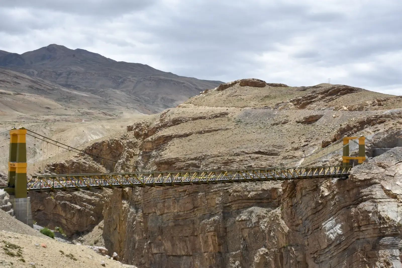
Spiti is the far side of the Himalaya — the rain never gets over the range, so nothing grows that is not irrigated by hand. Villages are the colour of the hill they stand on. The monasteries have been there for a thousand years and are still in use, not preserved.
It is the trip we are asked about most and the one we turn people away from most often, usually because they have five days and want to see it. You cannot. The altitude sets the pace and there is no arguing with it.
Fuel, cash and the two hundred kilometres in between
This is the practical fact that shapes the whole route. Between Reckong Peo and Kaza there is roughly two hundred kilometres of road with no dependable fuel on it. There is a pump at Kaza — one of the highest retail outlets anywhere, and it is a real one — but it runs dry in peak season and after any supply disruption, so nobody sensible plans around it being open. We fill at Reckong Peo and carry a spare can, every trip, and the same goes for the stretch on from Kaza towards Kunzum La.
Cash works the same way. There are ATMs at Kaza and one or two further down the valley, and they are genuinely unreliable — out of notes, out of network, or out of power. Draw what you need in Reckong Peo or Shimla and treat anything you find above that as luck. Almost nothing up here takes a card.
Mobile signal is patchy and postpaid connections do considerably better than prepaid. Assume you are out of contact between towns and tell people at home that before you go, rather than after they have started worrying.
If something goes wrong
Worth knowing before you need it. The Civil Hospital at Kaza is the only real medical facility in the valley; there are primary health centres at Tabo and in the Pin valley, and small government hospitals down the Kinnaur side at Chango and Lippa. For anything serious the answer is descent and distance, and both take hours. This is the practical reason we run the route in the direction we do and keep a night in hand.
There is no mechanic worth the name between Reckong Peo and Kaza either, which matters more on this road than it would on most.
Permits
For Indian passport holders, none — the whole Shimla-to-Kaza route is open and you need nothing beyond a photo ID for the checkposts. Foreign nationals need an inner line permit for the stretch near the Tibet border, which is straightforward to obtain at Reckong Peo and which we arrange as part of the trip. Rules here have changed more than once, so we confirm the current position before every departure rather than relying on what was true last season.
Day by day
How the 9 days run
- Day 13–4 hrs from Chandigarh
Up to Shimla
Spiti is done from the Shimla side going in and the Manali side coming out. Taken the other way round you gain 3,000m in a day and spend the next two in bed. Tonight is just a night in Shimla.
- Day 28 hrs
Shimla to Sangla
A long one, and the day the landscape starts to change. Through Narkanda, down to the Sutlej at Rampur, then onto the old Hindustan–Tibet road where it is cut into the cliff. Sangla sits in the Baspa valley at 2,700m, green and still very much on the near side of the mountains.
Show all 9 daysShow fewer days
- Day 33 hrs
Sangla to Kalpa
Chitkul in the morning — the last village before the border, and about as far up that valley as anyone is allowed to go. Then across to Kalpa, which looks straight at Kinner Kailash. Short day, deliberately. You are at 2,960m now.
- Day 47–8 hrs
Kalpa to Tabo
The trees stop. Somewhere past Puh the valley turns to rock and dust and stays that way for the rest of the trip. Nako sits above a small lake at 3,660m and is worth an hour. Tabo monastery was founded in 996 and the paintings inside it are original — no photographs, and they are strict about it.
- Day 53–4 hrs
Tabo to Kaza, by way of Dhankar
Dhankar first, a monastery built on a spur of crumbling rock that looks like it should have fallen off a century ago. Then Pin valley if there is time, and into Kaza. 3,650m. Take the evening slowly, drink more water than you want to, and tell us straight away if you have a headache.
- Day 64 hrs of short hops
Key, Kibber, Langza, Komic
The day the photographs come from. Key monastery stacked up its hillside, then Kibber, then the high villages — Langza with its fossils and the big Buddha looking down the valley, Komic at 4,500m, Hikkim and its post office. All of it above 4,000m, so it is an easy day on paper and a tiring one in practice.
- Day 75–6 hrs
Kaza to Chandratal
Over Kunzum La at 4,551m, then the track down to the lake. You sleep in a tent at about 4,250m and it gets properly cold after dark, whatever the month. Chandratal is the reason a lot of people come. If the pass is shut we go straight through to Chhatru instead and say so the day before, not on the day.
- Day 86–7 hrs
Chandratal to Manali
Down the Chandra valley to Batal and Gramphu — the roughest stretch of the whole trip, and slow — then either over the Rohtang or through the Atal Tunnel depending on what is open. Trees again by the afternoon, which after four days without any is a strange thing to notice.
- Day 9
Out
Manali to Kullu airport, or on to Chandigarh or Delhi by road, or back to Dharamshala if that is where you started.
The price
What is in it, and what is not
Included
- Private car and driver, fuel, tolls and parking
- Inner Line Permits arranged before you arrive
- Hotels and guest houses, and the tented camp at Chandratal
- Oxygen carried in the vehicle
- Breakfast throughout
Not included
- Flights and trains
- Lunches and dinners
- Monastery camera fees where they apply
- Travel insurance, which we would genuinely encourage on this one
We do not publish a rate card. The number depends on the season, how many of you there are and the sort of hotels you want, so we price each trip on its own — and whatever we quote is what you pay.
Questions
What people ask about this one
Why go in from Shimla and out at Manali?
Because of the altitude. From Shimla you climb over four days and your body has time to keep up. From Manali you cross Kunzum La and land in Kaza at 3,650m on day two, and a good number of people are ill for the rest of the week. It costs you two extra days and it is the single most important thing about this route.
When is it actually open?
Roughly June to October, and the ends move. Kunzum La and the Chandratal track depend on when the snow gets cleared, which can shift by two or three weeks either way. Book this one two or three months out and expect us to be honest with you in the week before about what is passable.
How hard is it on your body?
You are above 3,500m for four nights and cross 4,551m. Most people get a headache and sleep badly for a night. We climb gradually, keep a night in hand, carry oxygen, and if someone is not right we lose height — that is not a negotiation, we just do it.
What are the hotels like?
Simple, and past Tabo that is not a matter of budget. Hot water is by bucket in some places, the electricity comes and goes, and Chandratal is a tent. If that is a problem this is the wrong trip.
Spiti, photographed
10 photographs.


Show all 10 photographsShow fewer photographs


Keep reading