
Blog
Kareri Lake, and the way on to Lam Dal
Kareri is the walk we would pick out of everything near Dharamshala, and the lake is only the halfway point of the line it sits on. Above it the ground climbs another kilometre to a 4,060 m pass and drops into Chamba. Here are the heights, in a valley where most published ones are guesses.
Written by the people who drive these roads · Last checked
The short answer
Kareri village is 26.9 km from Dharamshala by road, at about 1,797 m. The lake is roughly 13 km further on foot at about 2,940 m — a climb of some 1,150 m. Above the lake, Minkiani Pass crosses the Dhauladhar at about 4,060 m into Chamba, and Lam Dal lies beyond it at about 3,990 m. The road ends at the village; everything above it is walked.
The facts, in one place
- Kareri village is 26.9 km from Dharamshala by road and sits at about 1,797 m.
- Kareri Lake is at roughly 2,940 m, some 1,150 m above the village below it.
- Minkiani Pass crosses the range above the lake at about 4,060 m into Chamba.
- Lam Dal lies beyond Minkiani at about 3,990 m and is the largest of the group.
- No vehicle goes above Kareri village, so all 13 km to the lake are on foot.
- 1,300 mDharamshala
- 1,797 mKareri village
- 2,940 mKareri Lake
- 4,060 mMinkiani Pass
- 3,990 mLam Dal
Read the whole postClose the post
In our comparison of the treks near Dharamshala we said that if somebody had the days and asked us to choose, we would send them to Kareri. This is that walk on its own, and more usefully, it is what carries on above the lake — because Kareri is not the top of anything. It is the middle of a line that crosses the range.
The line, in heights
| Place | Height | Reached by |
|---|---|---|
| Kareri village | about 1,797 m | Road, 26.9 km from Dharamshala |
| Kareri Lake | about 2,940 m | 13 km on foot |
| Minkiani Pass | about 4,060 m | Above the lake |
| Lam Dal | about 3,990 m | Beyond the pass, in Chamba |
Two of those figures deserve a word, because on this range most published altitudes are somebody’s recollection.
Minkiani and Lam Dal are the solid ones. Both carry a surveyed height in the open mapping record, and a terrain model agrees with each within fifty metres. That is the standard we hold ourselves to and it is why we will print them.
Kareri Lake is a single reading, from the terrain model alone, which happens to match the figure this company has used for years. Good enough to quote, not good enough to argue about.
Why the drive is 27 km
Kareri village looks a short hop from Dharamshala and is not. The road leaves the Dharamshala bowl, drops west, and comes back up a separate valley, so you travel round the outside of a ridge rather than over it. 26.9 km, about an hour.
This is the one leg of the whole trip where a vehicle earns its keep. There is no useful public transport to the village, and arriving there in the morning rather than at lunchtime is the difference between reaching the lake in daylight and not.
It is also, precisely, where our usefulness ends. Nothing goes above the village.
The village to the lake
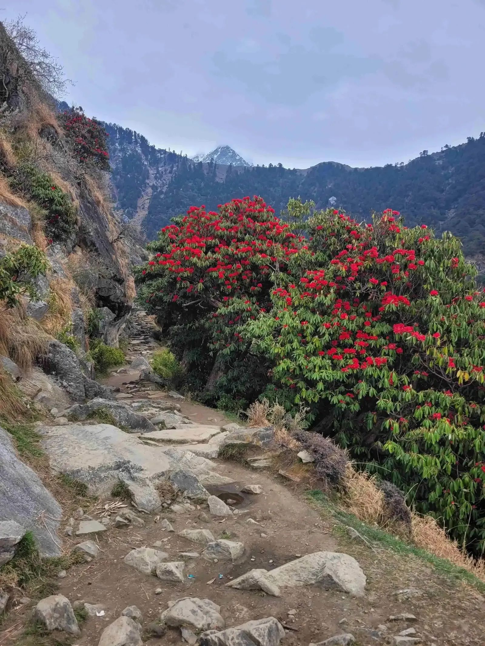
Thirteen kilometres and about 1,150 m of climbing, six or seven hours if you are not racing. The path follows the stream for a long stretch, through oak and then rhododendron, and the gradient is spread out rather than banked into one brutal section — which is what makes it a nicer walk than the shorter, steeper options on the Dharamshala side.
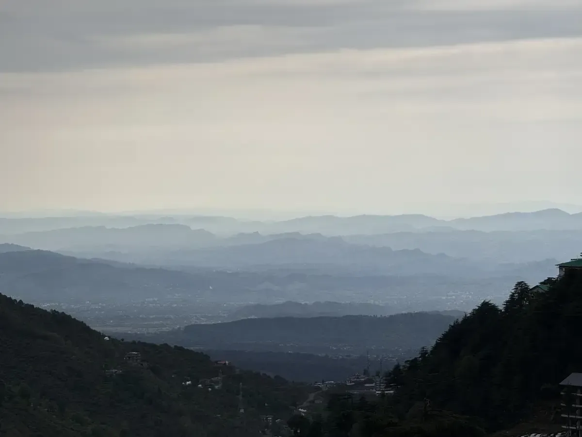
The lake sits in a bowl with the ridge standing over it. There is a small temple. There are shepherds’ shelters. In May the rhododendron on the way up is the best of it, and in October the air is clear enough to see a long way back down the valley.
Two days does the round trip. Three is better, and the reason is simple: at two days you arrive tired, sleep badly at altitude and leave in the morning, and the lake was the thing you came for.
Over Minkiani, and what that means
Above the lake the ground steepens properly. Minkiani Pass at about 4,060 m is another 1,100 m up from the water, on the boundary with Chamba, and going over it is a different undertaking from walking to the lake.
Beyond it lies Lam Dal at about 3,990 m, the largest of the high lakes on that side, and a place of real religious significance rather than a scenic detour. People walk to it on pilgrimage.
Everything about that upper section needs saying plainly. It is above 4,000 m, it holds snow well into the season, the weather changes faster than the walking pace allows you to react to, and it is not something to add on because you found the lake easy. Take a guide who works this range — the same advice we give for Indrahar, the next crossing east along this ridge. Our altitude guide covers what going from 1,300 m to 4,000 m in three days actually asks of you, and the answer is more than most people expect.
The crossing itself is old ground rather than an adventure route — herders have used these passes for a very long time, which is a subject we have given its own post.
When to go
May and June, and September to early November. Spring gives you flower and full streams; autumn gives you the clear air and firmer ground.
July and August are the monsoon and this side of the range takes it hard. The trail becomes a watercourse in places and the views you came for are inside cloud.
December to March puts snow on the lake and well below it. People do go, and they go equipped. If you are asking us whether to try it in trainers in January, the answer is no.
For anything over Minkiani, the window is narrower still — roughly late June to September, and the snow decides rather than the calendar.
What we would actually tell you
Give Kareri three days and stop at the lake. It is the better walk of everything within an hour of Dharamshala, it is quiet in a way Triund has not been for years, and three days is enough to enjoy it rather than complete it.
Treat Minkiani and Lam Dal as a separate trip in a later year, with a guide and a week. They are not an add-on and the people who get into difficulty here are almost always the ones who decided otherwise at the lake, on a clear afternoon, feeling strong.
We will drive you to the village and be there when you come back down. That is the whole of what a car can do for this one, and pretending otherwise would be selling you something that does not exist.
Also asked
Questions that come up
How long is the Kareri Lake trek?
About 13 km from Kareri village to the lake, six or seven hours at an unhurried pace, gaining roughly 1,150 m. Most people take two or three days over the round trip, and three is the version worth having because it lets you wake up at the lake rather than arrive and turn round.
How high is Kareri Lake?
About 2,940 m. That is a terrain-model reading rather than a survey, and it agrees with the figure the operator here has always given, which is why we are comfortable with it. Treat it as accurate to within a few tens of metres rather than exact.
How do I get to Kareri village from Dharamshala?
26.9 km by road, about an hour. The distance surprises people because the village looks close on a map — the road drops out of the Dharamshala bowl and comes back up a separate valley to the west, so you go round rather than across. This is the leg a car is genuinely useful for.
How high is Minkiani Pass?
About 4,060 m. Unlike most figures on this range, that one rests on two independent sources that agree within fifty metres. It sits on the district boundary above Kareri Lake, and crossing it puts you in Chamba.
What is Lam Dal?
The largest of the high lakes on the Chamba side of the Dhauladhar, at about 3,990 m, beyond Minkiani Pass. It is a sacred lake with a long pilgrimage attached to it, and it is a serious multi-day objective rather than an extension of a lake walk.
Where are the Seven Sisters lakes?
They are the cluster of high tarns on this stretch of the Dhauladhar, Lam Dal among them. We would be careful with the name — which seven are counted differs from one account to another, and we are not going to publish a list we cannot stand behind. Ask a guide who works the range.
Do I need a guide for Kareri Lake?
Not strictly, in clear weather — the trail follows a stream for much of the way and is easy to hold. In cloud it is a great deal less obvious. For anything above the lake, over Minkiani or on to Lam Dal, take a guide without debating it.
Keep reading